
How to be the Nominated Port Agent and Port Representative ?
The following information is provided by Nominated Port Agent and Port Representative of WORLD PORTS ORGANIZATION.
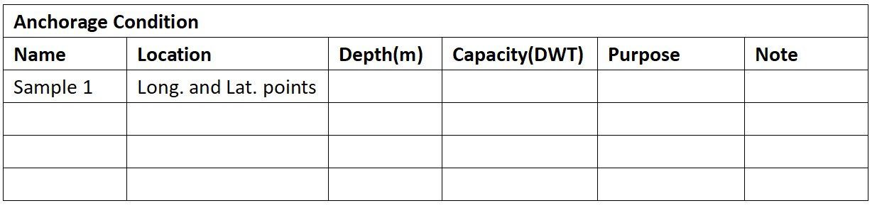
Please refer to Guide on Port Information.

Please refer to Guide on Port Information.


