
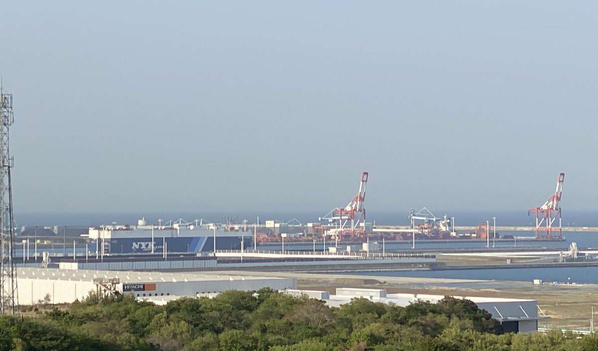
| Anchorage Name | Location (Coordinates) | Area (km²) | Depth (m) | Bottom Type | Max Vessel DWT | Capacity | Primary Use | Restrictions & Safety Notes | Commercial Notes |
|---|---|---|---|---|---|---|---|---|---|
| Hitachinaka Outer Anchorage | 36°23’30″N 140°36’00″E | 2.5 | 15-20 | Sand/Mud (70/30 ratio) | 50,000 | 5 vessels (min 0.3nm separation) | Waiting/Storm shelter | 1. NE wind exposure (fetch 15nm) 2. Currents: 2.5 knots max 3. 0.5nm fairway clearance 4. LNG carriers prohibited 5. Night navigation lights mandatory |
Free period: 72hrs Pilotage: Compulsory (>500GT) Port dues: ¥8,000/day after free period Bunkering prohibited |
| Hitachinaka Inner Anchorage | 36°24’15″N 140°35’30″E | 1.2 | 10-12 (chart datum) | Mud (shear strength 25kPa) | 30,000 | 3 vessels (bow/stern mooring required) | Cargo operations (limited) | 1. Operational hours: 0600-1800 2. Typhoon evacuation protocol 3. Continuous anchor watch 4. 200m breakwater exclusion 5. Maximum stay: 7 days |
Pre-approval: 48hrs notice Charges: ¥15,000/day after 24hrs Bunkering: Daytime only with spill boom |
| Emergency Anchorage A | 36°22’45″N 140°37’10″E | 0.8 | 18-22 (dredged 2023) | Clay (LL=45%, PL=22%) | 80,000 | 2 vessels (priority system) | Emergency repairs | 1. JCG authorization required 2. 24/7 availability 3. Tug standby (2x 60t bollard pull) 4. Pollution control equipment mandatory |
Fee exemption for genuine emergencies Maximum duration: 96hrs Repair services available |
| Coastal Anchorage B | 36°25’10″N 140°34’50″E | 0.5 | 8-10 | Sandy clay | 15,000 | 4 vessels (coasters only) | Fishery/Coastal trade | 1. Daylight operations only 2. Prohibited for international vessels 3. Local traffic priority |
Local permits required No commercial services available |
Hydrographic & Environmental Data:
1. Tidal Information:
– Mean tidal range: 1.5m (diurnal inequality 0.8m)
– Highest astronomical tide: +2.1m (Tokyo Peil)
– Storm surge potential: +3.2m (Typhoon conditions)
– Lowest low water: -0.6m (chart datum)
2. Current Patterns:
– Flood tide: 280° at 1.8 knots (max)
– Ebb tide: 110° at 2.3 knots (max)
– Eddy formation near breakwater (caution advised)
3. Seabed Characteristics:
– Outer: Sand/mud (CPT resistance 1.5-3.0 MPa)
– Inner: Soft mud (vane shear 20-30 kPa)
– Emergency: Stiff clay (unconfined compressive strength 50 kPa)
4. Underwater Hazards:
– Submarine cables: 2 active routes (36°23’20″N 140°36’30″E to 36°24’00″N 140°35’40″E)
– Wreck clearance: Completed 2022 (36°23’05″N 140°36’45″E)
– Rocky outcrops: 3 identified patches (marked on charts)
Operational Requirements:
1. Mandatory Equipment:
– Vessels >10,000GT: Second anchor ready (minimum 6 shackles)
– AIS continuous transmission (MMSI verification)
– Storm mooring arrangements (typhoon season: July-Oct)
– Oil spill kit (minimum 200m containment boom)
2. Prohibited Activities:
– Anchoring in cable zones (¥5 million fine)
– Unauthorized discharges (zero tolerance policy)
– Crew transfers without port permission
– Fishing within port limits
3. Emergency Protocols:
– Japan Coast Guard Station Hitachinaka (VHF Ch 16/67)
– Port Emergency Response Team (24hr standby)
– Designated spill response vessels (2x on station)
– Medical evacuation procedures (MERSAR compatible)
Commercial Services & Logistics:
1. Bunkering Services:
– Inner anchorage only (daylight hours)
– Advance notice: 24hrs (bunker plan submission)
– Spill containment: Double boom requirement
– Approved suppliers: 3 licensed operators
2. Provisioning:
– Fresh provisions: Daily delivery available
– Bonded stores: Customs clearance required
– Water supply: 100t/hour capacity
3. Waste Management:
– IMO compliant reception facilities
– Sludge removal: 2 approved contractors
– Garbage collection: Segregated system
4. Repair Services:
– Emergency repairs: Limited capability
– Dive team: 24hr notice required
– Electrical/mechanical: On-call basis



