
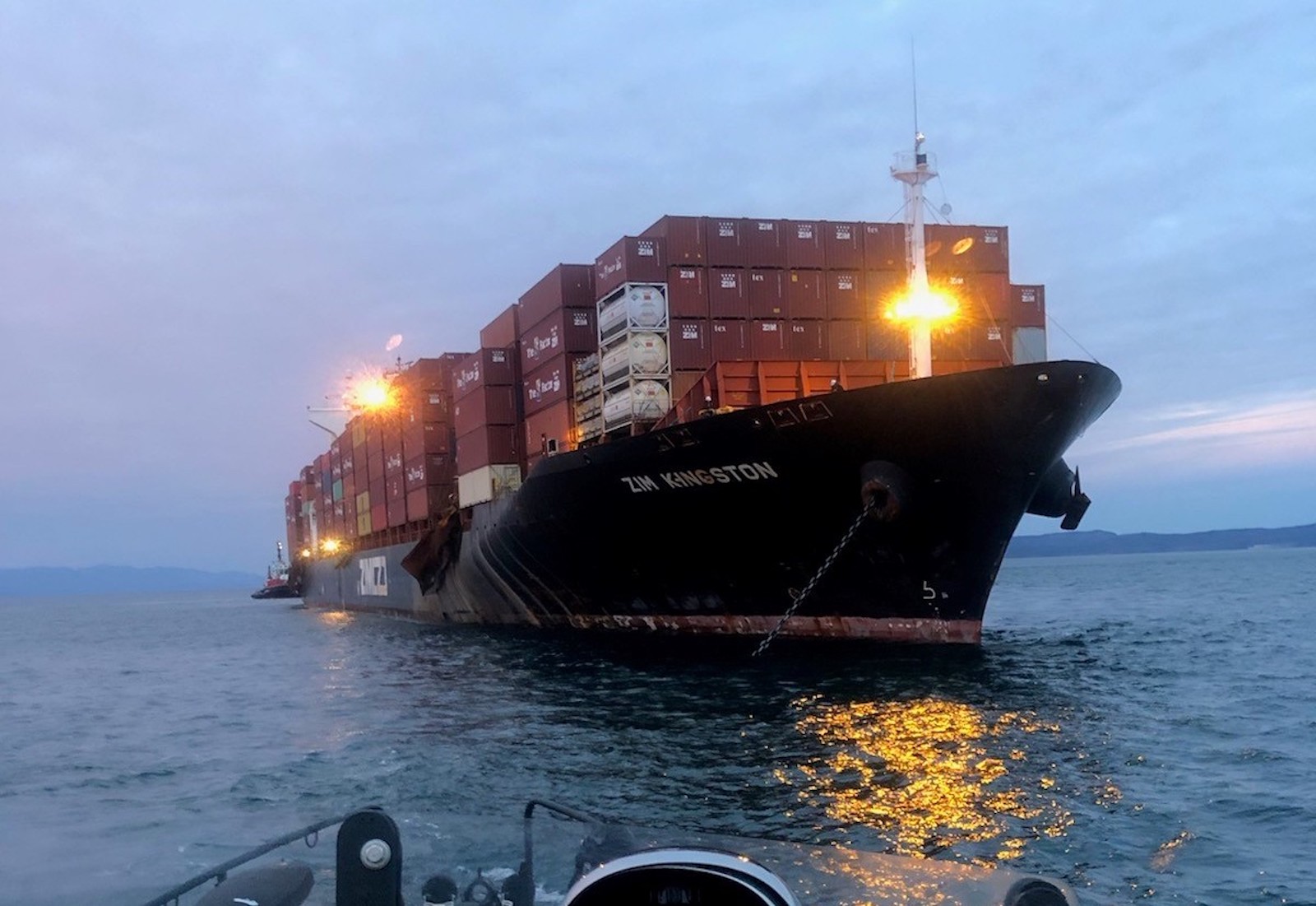
| Anchorage Name | Location (Coordinates) | Area (km²) | Depth (m) | Bottom Type | Max Vessel DWT | Capacity | Primary Use | Restrictions & Safety Notes | Commercial Notes |
|---|---|---|---|---|---|---|---|---|---|
| Omaezaki Anchorage No.1 | 34°35’30″N, 138°13’00″E | 0.8 | 15-20 | Sand/Mud | 50,000 | 3 vessels | General cargo/Container ships | – Limited shelter from NE winds – Avoid during typhoon season (July-Oct) – Mandatory 500m separation from LNG carriers – Prohibited for vessels with dangerous cargo (Class 2.1-2.3) |
– Priority given to vessels with scheduled berthing – Bunkering allowed with port approval |
| Omaezaki Anchorage No.2 | 34°36’15″N, 138°14’30″E | 1.2 | 20-25 | Clay/Sand | 80,000 | 2 vessels | Bulk carriers | – Strong currents (1.5-2 knots) during spring tides – Prohibited for vessels carrying Class-1 explosives – Daily inspection required for vessels >72hrs at anchor – Mandatory tug standby for vessels >60,000 DWT |
– Coal and grain vessels preferred – Dedicated for industrial cargo operations |
| Omaezaki Emergency Anchorage | 34°34’45″N, 138°12’15″E | 0.5 | 12-15 | Mud | 30,000 | 1 vessel | Emergency use only | – Requires port control permission – No commercial operations allowed – Maximum stay 24hrs without medical/technical justification – Must display all-round red lights when occupied |
N/A |
| Omaezaki Temporary Anchorage A | 34°37’00″N, 138°15’45″E | 0.3 | 10-12 | Gravel/Sand | 20,000 | 1 vessel | Coastal vessels | – Daytime use only (sunrise to sunset) – No bunkering operations permitted – Maximum stay 12 hours |
– Fishing vessel transfers allowed – Limited to vessels <150m LOA |
| Omaezaki Bunkering Anchorage | 34°35’10″N, 138°13’45″E | 0.4 | 18-22 | Sand | 45,000 | 1 vessel | Fuel operations | – Requires pre-approved bunkering plan – Mandatory oil spill equipment deployment – No simultaneous cargo operations – Firefighting tug standby required |
– Licensed bunker suppliers only – Advance notice 48hrs minimum |
Additional Critical Information:
1. Tidal Information:
– Mean tidal range: 1.5m
– Highest astronomical tide: +2.1m
– Chart Datum: -0.3m below MSL
– Tidal current direction: NW-SE (max 2.8 knots during spring tides)
– Lowest low water springs: -0.8m CD
2. Navigation Warnings:
– Fishing nets frequently deployed NW of Anchorage No.1 (marked on charts)
– Submarine cable area 1.2nm NE of Anchorage No.2 (prohibited zone)
– Unlit aquaculture buoys present 0.8nm SW of Temporary Anchorage A
– Military exercise area occasionally active 3nm SE (NOTAM issued)
3. Port Regulations:
– Mandatory AIS transmission within 5nm of port limits
– Anchoring prohibited within 0.5nm of breakwaters
– Night operations require special permission
– Vessels >10,000 DWT must maintain 24hr radio watch on VHF Ch.12
– All vessels must submit anchorage request via JP-MOSS system
– Waste discharge strictly prohibited (including gray water)
4. Pilotage:
– Compulsory for vessels >10,000 GT
– Available 24/7 with 6 hours notice
– Pilot boarding area: 34°38’00″N, 138°16’30″E (marked by yellow buoys)
– Pilot ladder requirements: SOLAS compliant, 1.5m above water
– Helicopter transfer prohibited in port limits
5. VTS Coverage:
– 24-hour monitoring on VHF Ch.16/12
– Radar coverage extends 15nm offshore
– Mandatory position reporting at 12nm, 5nm and 1nm approach points
– AIS failure requires immediate notification to VTS
6. Environmental Restrictions:
– No anchoring in coral protection zones (marked in purple on charts)
– Strict ballast water exchange regulations (minimum 200nm offshore)
– Prohibited to discharge any waste within 3nm of port
– Special areas for protected marine species (seasonal restrictions)
7. Meteorological Conditions:
– Prevailing winds: NE (Nov-Mar), SW (Apr-Oct)
– Wave height >2.5m triggers anchorage evacuation protocol
– Fog occurrence: 15 days/year average (mainly Feb-Mar)
– Typhoon season: July-October (evacuation radius 300nm)
8. Emergency Procedures:
– Emergency contact: VHF Ch.16 +81-548-62-0110 (Port Control)
– Designated storm anchorages outside port limits
– Medical evacuation protocol requires 1hr notice
– Oil spill response team activation time: 90 minutes
Warning:
1. Unauthorized anchoring may result in fines up to ¥5,000,000
2. All vessels must comply with Japan’s Maritime Traffic Safety Law
3. Latest updates available at Omaezaki Port Authority website (official notices)
4. This information supersedes all previous notices until 31 Dec 2024



