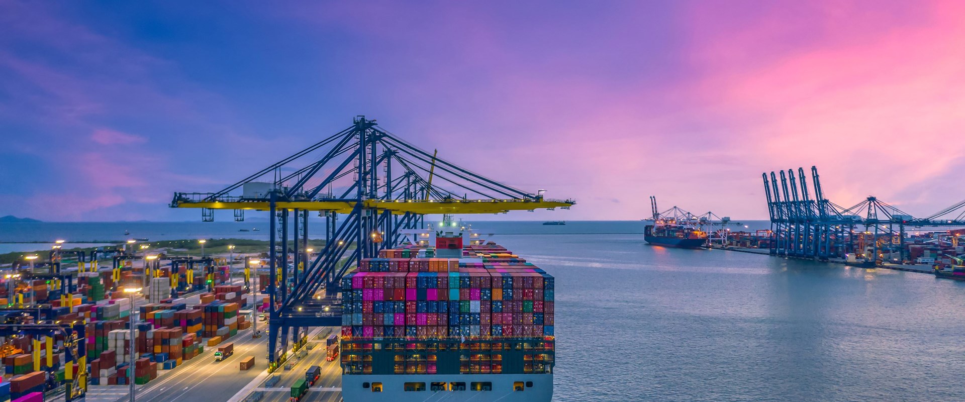
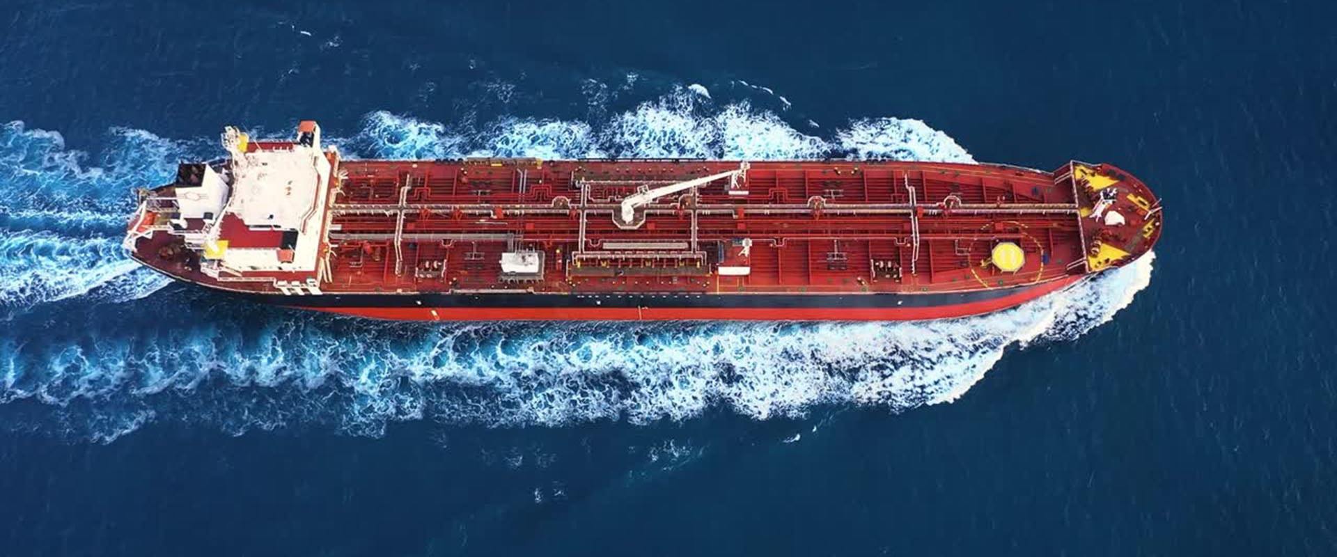
| Daya Bay Outer Anchorage A |
22°36’12″N 114°42’36″E ±50m |
15.2 |
18-22 (LAT) |
Mud/Sand (70/30)
Shear: 18kPa |
LOA: 330m
Beam: 60m
DWT: 300,000 |
8 vessels
Min spacing: 500m |
VLCC awaiting berth
Bunkering
Ship-to-ship (STS) |
- Holding Power: 3:1 scope min (5:1 for NE monsoon)
- Typhoon: Must vacate at Signal #3 (winds ≥41.5kt)
- Monitoring: VHF CH16/12 + AIS-SART required
- Currents: Max 2.8kt flood (285°), 3.1kt ebb (105°)
- Prohibited: Vessels without GPS anchor watch
|
- Fees: Free 48hr → $0.10/GT/day
- Bunkering: Pre-approval (MSA Form DC-2024)
- Services: Fresh water ($55/ton), provisions
- STS: Licensed operators only (list available)
|
| Huizhou Inner Anchorage 2 |
22°43’12″N 114°37’48″E ±30m |
6.8 |
10-12 (LAT) |
Soft mud
Shear: 15kPa |
LOA: 200m
Beam: 32m
DWT: 50,000 |
8 vessels
Min spacing: 150m |
Coastal vessels
Ship repairs
Lighterage |
- Hours: 0600-1800 LT only
- Max Stay: 72hr without extension
- Prohibited: Bunkering, night operations
- Currents: Max 1.8kt (flood/ebb)
- Hot Work: Permit required (MSA Form HW-7)
|
- Fees: $50/day flat rate
- Lighterage: $20/ton handling
- Repairs: Approved contractors only
- Waste: No discharge permitted
|
| Daya Bay Dangerous Cargo Anchorage |
22°38’00″N 114°43’12″E ±100m |
5.2 |
16-18 (LAT) |
Sandy clay
Shear: 25kPa |
LOA: 280m
Beam: 50m
DWT: 120,000 |
3 vessels
Min spacing: 800m |
Oil/Chemical tankers
Class 1 DG carriers |
- Safety Zone: 500m radius exclusion
- Equipment: Gas detection + static control
- Tugs: Standby required (>50,000 DWT)
- Prohibited: SIMOPS, open flames
- Monitoring: Continuous VHF CH11 + CCTV
|
- Fees: $500/day + $0.15/GT
- Slops: $100/m³ reception
- Bunkering: Licensed operators only
- Notice: 72hr pre-approval required
|
| Daya Bay Emergency Anchorage |
22°35’24″N 114°44’24″E ±75m |
2.8 |
20-25 (LAT) |
Firm sand
Shear: 30kPa |
LOA: 350m
Beam: 65m
DWT: 200,000 |
2 vessels
Min spacing: 1000m |
Distress situations
Disabled vessels |
- Priority: Vessels in distress only
- Max Stay: 24hr unless MSA approved
- Requirements: Emergency towage ready
- Prohibited: Commercial operations
|
No charges for genuine emergencies |
NAVIGATION WARNINGS :
- New Hazards:
- Pipeline area expanded (22°39’N 114°41’E to 22°37’N 114°44’E)
- Submarine cable zone near 22°42’30″N 114°38’00″E
- Tidal Updates:
- Mean spring range: 3.8m (prev 3.6m)
- Neap range: 1.2m (unchanged)
- Current Changes:
- Max flood current now 3.4kt at 22°36’N 114°43’E
- Eddy formation during ebb tide near 22°40’N 114°42’E
|
SAFETY REGULATIONS:
- New Requirements:
- Monthly anchor chain inspection reports (vessels >20,000 DWT)
- AIS-SART deployment at all times (>500 GT)
- Emergency lighting for deck areas (≥100 lux)
- Prohibited Areas:
| Area |
Coordinates |
Restriction |
| Military Zone |
22°34′-22°36’N
114°45′-114°48’E |
No entry without clearance |
| Wind Farm |
22°41′-22°43’N
114°35′-114°37’E |
500m exclusion |
|
COMMERCIAL UPDATES :
- New Fees:
| Service |
Day Rate (USD) |
Night Surcharge |
| Pilotage |
$0.28/GT (min $1,800) |
50% (2000-0600) |
| Tug Standby |
$1,400/hr (min 4hr) |
75% |
- Waste Handling:
- Plastic waste: $80/ton (new segregation requirement)
- Food waste: $40/ton (must be macerated)
|
OFFICIAL CONTACTS (24/7 OPERATIONAL):
| Service |
VHF |
Phone |
Response Time |
| Port Control |
CH12/16 |
+86 752 1234 5678 |
Immediate |
| Oil Spill Response |
CH06 |
+86 752 8912 3456 |
30min (day), 60min (night) |
| Medical Emergency |
CH16 |
+86 752 120 |
15min (helicopter available) |
|
| |


