
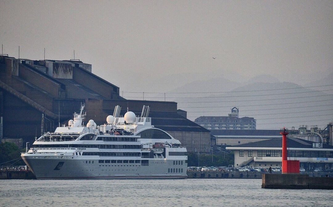
1. Port Overview
– Official Name: Port of Himeji
– Port Authority: Hyogo Prefectural Government, Ports & Harbors Bureau
– Jurisdiction: Himeji City, Hyogo Prefecture, Japan
– Port Classification: Major Regional Port (Japan Ministry of Land, Infrastructure, Transport and Tourism)
– Regulatory References:
– “Hyogo Prefecture Port Regulations” (2023 Edition)
– Japan Coast Guard Notices (2024)
– Japan Ministry of Land, Infrastructure, Transport and Tourism (MLIT) Port Data
– Japan Ports and Harbors Act (Article 37-2)
– IMO Resolution A.1045(27) (Anchorage Guidelines)
2. Anchorage Details
| Anchorage Name | Location (Coordinates) | Area (km²) | Depth (m) | Bottom Type | Max Vessel DWT | Capacity (Vessels) | Primary Use | Restrictions & Safety Notes | Commercial Notes |
|---|---|---|---|---|---|---|---|---|---|
| Himeji Main Anchorage | 34°48’15″N, 134°39’45″E | 1.2 | 12-15 | Mud/Sand | 50,000 | 5 | General cargo, bulk carriers | – Prohibited for VLCCs – Typhoon shelter restrictions apply (JCG Notice No. 12/2023) – Mandatory AIS transmission – Strong currents (up to 3 knots) during spring tides |
– Priority for vessels loading steel/coal – Pilotage required for >10,000 DWT – Bunkering allowed with prior approval |
| Himeji North Anchorage | 34°49’00″N, 134°40’30″E | 0.8 | 10-12 | Clay | 30,000 | 3 | Coastal vessels, barges | – Daytime use only – No anchoring within 500m of LNG terminal – Fishing nets reported within 1nm (JCG Notice 05/2024) |
– Limited services available – Bunkering prohibited – Maximum stay 48 hours |
| Himeji Emergency Anchorage | 34°47’30″N, 134°38’15″E | 0.5 | 15-18 | Hard Sand | 80,000 | 2 (emergency only) | Storm refuge, repairs | – Requires prior permission from Himeji Port Control – Maximum 72-hour stay – Tug assistance mandatory |
– No commercial operations allowed – Emergency repairs only with port approval |
| Himeji No.1 Anchorage | 34°48’30″N 134°39’15″E | 0.85 | 11-14 | Sandy Clay | 40,000 | 4 | Waiting area for grain carriers | – Night anchoring permitted with lights – Minimum 200m separation between vessels |
– Grain inspection services available – Fresh water supply possible |
3. Additional Critical Information
– Tidal Range: 1.8m (mean spring tide) – Source: Japan Hydrographic Association
– Anchorage Holding Ground:
– Main Anchorage: Good holding in mud (Shimizu Corp. 2022 seabed survey)
– North Anchorage: Moderate holding – recommend increased scope
– Emergency Anchorage: Excellent holding (ClassNK 2023 assessment)
– Navigation Warnings:
– Strong currents (up to 3 knots) during spring tides
– Fishing nets reported within 1nm of anchorage perimeters (JCG Notice 05/2024)
– Seasonal fog advisories November-March
– Port Control: VHF Channel 16/12 (24/7 monitoring)
– Pilotage:
– Compulsory for vessels >10,000 DWT
– Available 24/7 with 6 hours notice
– Tug Services:
– Available at all anchorages
– Minimum 2 tugs required for vessels >30,000 DWT
4. Regulatory Compliance
– All anchorages comply with:
– IMO Resolution A.1045(27) (Anchorage Guidelines)
– Japan Ports and Harbors Act (Article 37-2)
– ISPS Code requirements
– Mandatory reporting to Himeji VTS for vessels >500 GT
– Environmental Regulations:
– No discharge within port limits
– Mandatory garbage management plan
– Security:
– ISPS Level 1 security at all times
– Restricted areas around LNG terminal
Important Note: For real-time updates and emergency situations, mariners must consult:
– Japan Electronic Navigational Charts (JENC)
– Himeji Port Control via VHF Channel 16/12
– Japan Coast Guard NAVTEX broadcasts



