
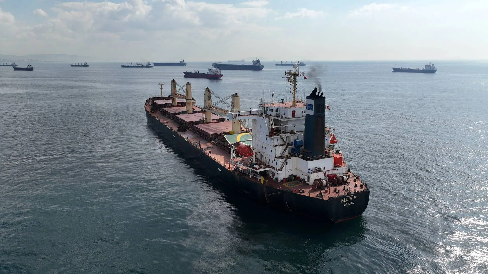
1. General Information
– Port Authority: Wakayama Prefectural Government
– Port Classification: Regional Port under Japan’s Port and Harbor Law
– Jurisdiction: Tanabe City, Wakayama Prefecture
– Administrative Documents:
– Wakayama Prefecture Port Regulations , Latest Revision: 2022
– Ministry of Land, Infrastructure, Transport and Tourism (MLIT) Notice No. 498 (2021)
– Japan Coast Guard Ordinance No. 30 (2020) on Anchorage Management
– Port Limits: Defined by MLIT Ordinance No. 42 (2019), extending 3 nautical miles from baseline coordinates
– Port Entry Requirements:
– Mandatory pre-arrival notification (24 hours for foreign vessels)
– ISPS Code compliance required for vessels >500 GT
2. Anchorage Details
| Anchorage Name | Location (Coordinates) | Area (km²) | Depth (m) | Bottom Type | Max Vessel DWT | Capacity | Primary Use | Restrictions & Safety Notes | Commercial Notes |
|---|---|---|---|---|---|---|---|---|---|
| Tanabe Outer Anchorage | 33°43’30″N 135°21’00″E (WGS84 Datum) |
0.8 | 15-20 (Chart Datum) |
Mud/Sand (70% clay content) | 10,000 | 3 vessels (min 500m spacing) |
Waiting/Storm Shelter | 1. Prohibited during typhoons (JMA Warning Level ≥3) 2. Strong currents (2-3 knots NE-SW) 3. Mandatory 24h AIS monitoring 4. Prohibited for LNG carriers 5. Anchor watch required at all times |
No cargo operations permitted Anchoring fee: ¥8,000/day (Wakayama Port Tariff Schedule 2023) Bunkering prohibited |
| Shirahama Anchorage | 33°41’15″N 135°20’45″E (WGS84 Datum) |
0.5 | 12-18 (Chart Datum) |
Sandy (Shell fragments present) | 5,000 | 2 vessels | Fishing vessels | 1. Daytime use only (sunrise-sunset) 2. Limited holding ground (recommended 5:1 scope) 3. Prohibited for vessels >150m LOA 4. No anchoring within 200m of marked aquaculture zones |
Local fishery coordination required (contact Tanabe Fisheries Cooperative) Priority for registered Wakayama fishing vessels Commercial vessels require special permit |
| Kushimoto Emergency Anchorage | 33°28’00″N 135°45’00″E (WGS84 Datum) |
1.2 | 20-25 | Hard Clay | 50,000 | 1 vessel | Emergency use only | 1. Requires prior approval from Japan Coast Guard 2. Maximum 72-hour stay 3. Tugs on standby mandatory for vessels >20,000 DWT 4. Medical emergency priority |
Commercial use prohibited Emergency fees apply (MLIT Standard Rate 2024) No bunkering/transshipment allowed |
| Naka-no-hama Temporary Anchorage | 33°44’10″N 135°22’30″E | 0.3 | 10-15 | Sandy Mud | 3,000 | 1 vessel | Coastal vessels | 1. Maximum 12-hour stay 2. No night operations 3. Prohibited during rough seas (wave >2m) |
Limited to domestic coastal shipping No international vessels permitted |
3. Hydrographic & Meteorological Conditions
– Tidal Data:
– Mean spring range: 1.5m
– Mean neap range: 0.8m
– Highest astronomical tide: 2.1m
– Lowest astronomical tide: -0.3m
– Currents:
– Kuroshio Current influence: Surface 1-3 knots NE direction
– Tidal currents: Max 2.5 knots during spring tides
– Eddy currents common near 33°44’N 135°23’E
– Wave Conditions:
– Significant wave height: 1.5m (annual average)
– Maximum recorded: 9.8m during Typhoon Jebi (2018)
– Swell direction predominance: SE (May-Oct), NW (Nov-Apr)
– Visibility:
– <5 days/year fog occurrence (mainly Feb-Mar)
– Average visibility: 10-15km (summer), 8-12km (winter)
– Wind Patterns:
– Prevailing winds: NE (winter), SW (summer)
– Gale frequency: 8-10 days/year (mainly typhoon season)
4. Operational Regulations
– Anchoring Procedures:
– Mandatory notification to Tanabe Port Office ≥2 hours prior
– Vessels >5,000 DWT require Japanese-speaking agent
– Anchoring position report within 30 minutes of anchoring
– Holding Ground Quality:
– Tanabe Outer: Holding power coefficient 3.5 (clay/sand)
– Shirahama: Coefficient 2.8 (sandy)
– Kushimoto: Coefficient 4.2 (hard clay)
– Drag Circle Limits:
– Max 0.5nm swing radius for vessels >150m LOA
– Prohibited within 1nm of aquaculture zones (marked on charts)
– Mandatory repositioning if drag exceeds 200m
– Special Restrictions:
– No anchoring within 500m of submarine cables
– Prohibited areas clearly marked on JHA Chart No. 1112
– Night anchoring requires special permission
5. Safety & Emergency
– Navigational Warnings:
– Fishing gear density: High (May-Oct), especially gill nets
– Submarine cable area: 33°42’00″N 135°22’30″E (marked)
– Seasonal fishing boat congestion near Shirahama
– Emergency Contacts:
– Japan Coast Guard Wakayama: +81-734-22-0110 (Marine VHF Ch 16/13)
– Tanabe Port Office: +81-739-26-9920 (Business hours 0800-1700 JST)
– MLIT Kansai Office: +81-6-6941-3371 (24h emergency)
– Wakayama Marine Disaster Prevention Center: +81-73-423-0119
– Rescue Resources:
– 2 patrol boats (Wakayama CG Station)
– Air rescue capability (Osaka Air Station, 45min response)
– Local fishing cooperative emergency response teams
– Pollution Control:
– Strict anti-pollution regulations (Oil Record Book required)
– Prohibited discharge zone within 12nm of coast
– Mandatory oil spill reporting within 1 hour
6. Additional Notes
– Local Services:
– Fresh water available at Tanabe Wharf (prior arrangement)
– Limited provisions available in port area
– Nearest ship chandler in Wakayama City (2 hours by road)
– Cultural Considerations:
– Respect local fishing operations and traditions
– Noise restrictions near coastal communities
– Waste disposal strictly regulated
– Climate Considerations:
– Typhoon season preparedness (July-October)
– Winter monsoon conditions (December-February)



