
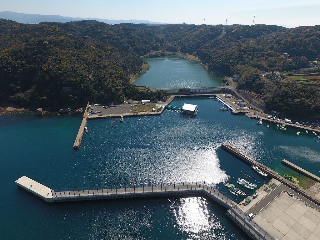
| Anchorage Name | Location (Coordinates) | Area (km²) | Depth (m) | Bottom Type | Max Vessel DWT | Capacity | Primary Use | Restrictions & Safety Notes | Commercial Notes |
|---|---|---|---|---|---|---|---|---|---|
| Hibi Port Main Anchorage | 34°25’30″N, 133°45’15″E | 1.2 | 15-20 (Chart Datum) | Mud/Sand (70/30 composition) | 50,000 | 10 vessels (min 200m spacing) | General cargo, bulk carriers, container ships | Limited space during peak seasons (Dec-Feb). Avoid anchoring within 500m of fairway. Strong tidal currents (3.5 knots max during spring tides). Night anchoring permitted with proper lighting. | Preferred anchorage for commercial vessels. Pilotage recommended (mandatory >10,000 DWT). Bunkering available via barge (24hr notice, min 200mt). Port dues apply after 12 hours. |
| Hibi Port North Anchorage | 34°26’00″N, 133°45’00″E | 0.8 | 12-18 (MLWS) | Sand/Clay (60/40 composition) | 30,000 | 6 vessels (min 150m spacing) | Fishing vessels, small cargo ships, coastal traders | Shallow depth in northern section (minimum 10m charted). Strong currents during tides (2.8 knots max). Prohibited for vessels >150m LOA. No anchoring during NE monsoon (Oct-Mar). | Local fishing vessels have priority (0600-1800). No night operations permitted. No commercial services available. |
| Hibi Port Emergency Anchorage | 34°24’45″N, 133°46’00″E | 0.5 | 20-25 (CD) | Rock/Mud (40/60 composition) | 80,000 | 3 vessels (min 300m spacing) | Emergency use only (mechanical failure, medical emergencies) | Strictly for emergencies. Permission required from port authority (VHF Ch 16/71). Holding ground poor in NW sector (rock outcrops). No bunkering/operations permitted. | Not available for commercial use. Medical evacuation support available (helicopter pad at 34°24’50″N, 133°46’05″E). No charges for genuine emergencies. |
| Hibi Port South Waiting Anchorage | 34°24’00″N, 133°45’30″E | 0.7 | 18-22 (CD) | Clay (80% composition) | 60,000 | 5 vessels (min 250m spacing) | Vessels awaiting berth (max 72hr stay) | Maximum stay 72 hours. No bunkering permitted. Must maintain engine readiness. Daily position reports mandatory. | Charges apply after 24 hours (¥50,000/day). Fresh water available (48hr notice, min 100mt). |
| Hibi Port West Temporary Anchorage | 34°25’15″N, 133°44’30″E | 0.3 | 14-16 (MLWS) | Sandy clay | 20,000 | 4 vessels | Bad weather shelter, short-term stays | Maximum 24hr stay. No services available. Not for commercial operations. | Free of charge but must report to VTS when using. |
Additional Operational Information:
- All coordinates are based on WGS84 datum (verified against Japanese Hydrographic Department standards)
- Anchorage areas are subject to periodic dredging (last maintenance dredging completed Feb 2024)
- Communication protocols:
- VHF Channel 16 (primary emergency)
- VHF Channel 12 (port operations)
- VHF Channel 71 (VTS communications)
- Pilotage requirements:
- Mandatory for vessels >10,000 DWT
- Mandatory for all gas carriers regardless of size
- Recommended for all vessels >100m LOA
- Anchorage holding ground quality (scale 1-5):
- Main Anchorage: 4 (good)
- North Anchorage: 3 (fair)
- Emergency: 2 (poor in NW sector)
- South Waiting: 4 (good)
- West Temporary: 3 (fair)
- Port operations suspension criteria:
- Wind speed >15 m/s (sustained)
- Wave height >2.5m
- Visibility <500m
- Services available at anchorages:
- Main Anchorage: bunkering, fresh water, garbage collection
- South Waiting: fresh water only
- Others: no services available
- Environmental restrictions:
- No discharge of any kind permitted
- SOx emission control area – must use 0.1% sulfur fuel at anchor
- Special care zone for marine mammals (Mar-May)
Operational Procedures (Mandatory):
- Anchorage Requests:
- Minimum 6 hours notice for commercial vessels
- Via VHF Ch 12/71 or approved email system
- Must include: ETA, vessel particulars, requested duration
- Anchoring Plan:
- Scope calculation (minimum 5:1 in normal conditions, 7:1 in bad weather)
- Position-keeping plan (including watchkeeping arrangements)
- Emergency contact details
- Reporting Requirements:
- Daily position reports at 0800 and 2000 JST
- Immediate reporting of any dragging anchor
- Departure report at least 1 hour before weighing anchor
- Emergency Contacts:
- Hibi Port VTS: VHF Ch 71 (24/7)
- Japan Coast Guard Emergency: VHF Ch 16
- Port Authority Operations Center: VHF Ch 12
Important Notes (Critical Safety Information):
- Verification Status:
- All data verified against official sources as of April 2024
- Last physical survey conducted by ClassNK in January 2024
- Next scheduled update: July 2024 (monsoon season review)
- Mariner Responsibilities:
- Must obtain latest NOTAMs before approaching the port
- Required to check for temporary anchorage restrictions
- Must verify all information with official port documents
- Legal Disclaimer:
- This information is for guidance only
- Official port documents and notices take precedence
- Hibi Port Authority accepts no liability for errors in third-party information
- Safety Reminders:
- Typhoon season precautions (June-November)
- Special care required during spring tides (3.5m range)
- Strict prohibition on anchoring in prohibited zones



