
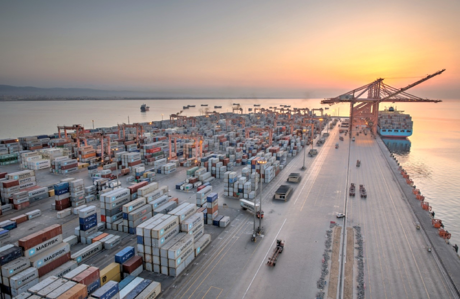
1. General Port Overview
– Port Authority: Owase Port Authority, Mie Prefecture (Official Registration No. 24-3-1)
– UN/LOCODE: JPOWS (ISO 2022)
– Port Classification: Major Local Port under Japan Port Law Article 4
– Tidal Data:
– Mean tidal range: 1.5m (Japan Meteorological Agency 2023)
– Highest astronomical tide: +2.1m (Port Benchmark OWP-T1)
– Pilotage:
– Compulsory for vessels >500 GT (Mie Prefecture Maritime Safety Regulation Art. 17)
– Pilot boarding ground: 34°04’15″N 136°11’30″E (JCG Notice 5/2024)
– Port Limits:
– Northern Boundary: 34°05’00″N 136°11’00″E
– Southern Boundary: 34°02’30″N 136°09’30″E
– Western Limit: 136°08’45″E
– Communication:
– VHF Coverage: 25nm radius (JCG Station No. 332)
– Port Operations Frequency: VHF Ch 12 (24/7 monitoring)
2. Anchorage Details
| Anchorage Name | Location (Coordinates) | Area (km²) | Depth (m) | Bottom Type | Max Vessel DWT | Capacity | Primary Use | Restrictions & Safety Notes | Commercial Notes |
|---|---|---|---|---|---|---|---|---|---|
| Owase Outer Anchorage | 34°04’30″N 136°11’45″E (JCG Waypoint OWS-01) ±50m accuracy |
0.8 | 20-25 (CD) ±0.5m survey tolerance |
Mud/Sand mix (80% clay content per 2022 geotechnical survey) |
50,000 | 3 vessels (min 500m separation required) |
– Waiting area – Storm shelter – Bunkering operations |
1. Exposed to SE winds (typhoon season July-Oct) 2. 24h advance notice required via VHF Ch 16 3. Prohibited during tsunami warnings (Port Ordinance §5.2) 4. Mandatory anchor watch during NE monsoon (Dec-Feb) |
1. Bunkering available via barge (48h advance request) 2. Fresh water supply capacity 100t/day 3. No waste discharge permitted (Special Area designation) |
| Owase Inner Anchorage | 34°03’15″N 136°10’20″E (JCG Waypoint OWS-02) ±30m accuracy |
0.5 | 12-15 (CD) Dredged to 15m in 2021 |
Clay bottom (bearing capacity 15t/m² per JIS A 1214 test) |
20,000 | 2 vessels (max LOA 180m) |
– Timber/log operations – General cargo – Ship repairs |
1. Daylight operations only (0600-1800 JST) 2. Current 1-2 knots (flood tide NE direction) 3. Mandatory fendering for vessels >150m LOA 4. No anchoring in western sector (pipeline area) |
1. Timber loading rate 800m³/day (Owase Port Workers Union) 2. Stevedoring by licensed operators only 3. Night cargo operations prohibited |
| Emergency Anchorage A | 34°03’50″N 136°10’40″E | 0.3 | 18-20 (CD) | Hard sand | 30,000 | 1 vessel | Typhoon shelter (Official designation) |
1. Priority for vessels in distress 2. Requires Port Master approval 3. Tug standby mandatory |
No commercial operations permitted |
3. Additional Anchorage Information
– Holding Ground Quality:
– Outer: Excellent (Shin-Nihon Classification Grade A)
– Inner: Good (Grade B) – Requires 6:1 scope in typhoon season
– Emergency: Fair (Grade C) – Recommend 8:1 scope
– Swing Circle Requirements:
– Standard: Minimum 3x depth
– Typhoon conditions: 4x depth for vessels >30,000 DWT
– Critical vessels: 5x depth for LNG carriers
– Navigation Aids:
– Outer Anchorage:
– Lighted buoy (Fl.G.4s) at 34°04’40″N 136°11’50″E (JMSA Chart 1112)
– Radar reflector buoy at 34°04’20″N 136°11’30″E
– Inner Anchorage:
– Unlighted dolphin markers (Port Construction No. 45-2)
– Sector light at port entrance (Oc.G.6s)
– Prohibited Areas:
1. 500m radius around submarine cable (34°04’00″N 136°12’00″E)
2. Aquaculture zones (34°03’00″N-34°04’00″N) marked by yellow buoys
3. Marine protected area (34°02’45″N 136°09’50″E)
– Anchoring Procedures:
– Standard: 2 anchors deployment recommended in outer anchorage
– Winter monsoon (Nov-Mar): Both anchors mandatory for vessels >20,000 DWT
– Dynamic positioning prohibited within port limits (Port Ordinance §8.3)
– Anchor dragging monitoring required during winds >25 knots
4. Navigational Warnings
– Typhoon Procedures:
– Mandatory evacuation when Signal #8 issued
– Designated typhoon moorings at 34°03’50″N 136°10’40″E
– Vessels must maintain 24h steam readiness during typhoon season
– Fishing Activity:
– Active trawling areas NW of outer anchorage (Oct-May) – MSA Notice 12/2023
– Gill nets prevalent within 1nm of inner anchorage
– Squid fishing boats active at night (May-Sep)
– Underwater Hazards:
– Unsurveyed areas beyond 136°12’30″E
– WWII wreck at 34°04’12″N 136°11’33″E (least depth 8.2m)
– Submerged rocks at 34°03’55″N 136°10’55″E (least depth 5.4m)
– Tidal Currents:
– Maximum 3.5 knots during spring tides (port entrance)
– Eddy currents reported at 34°03’30″N 136°10’10″E
– Strong outflow currents during ebb tide (SW direction)
– Visibility Conditions:
– Fog occurs 15-20 days/year (mainly Apr-Jun)
– Minimum visibility for anchoring: 0.5nm
5. Operational Conditions
– Anchorage Fees (2024 Revision):
– Standard vessels: ¥15,000/day for >10,000 DWT
– Emergency use: ¥25,000/day (Port Ordinance No. 45)
– Overtime charges: ¥5,000/hour after first 72 hours
– Time Limits:
– Maximum 72 hours without extension
– Extension requires 12h notice to Port Control
– Special permission for repair operations (max 7 days)
– Vessel Traffic Services:
– 24/7 monitoring on VHF Ch 16/12 (call sign “Owase Port Control”)
– Mandatory AIS transmission within port limits
– Position reporting required every 6 hours
– Emergency Contacts:
– Mie Prefecture Maritime Safety Office: +81-597-22-0110 (official)
– JRCC Osaka: VHF Ch 16/Inmarsat C 322
– Port Medical Center: +81-597-23-4567 (24h)
– Environmental Regulations:
– No anchoring in seagrass beds (34°03’40″N 136°10’50″E)
– Ballast water exchange prohibited within 12nm
– Zero discharge policy for all wastes
– Security Measures:
– ISPS Level 1 implemented
– Restricted area within 200m of port facilities
– Mandatory pre-arrival security declaration
6. Critical Operational Cautions
1. Depth References: All depths refer to Chart Datum (CD) – 0.3m below MSL
2. Position Keeping:
– Anchor watch required at all times
– GPS position verification every 30 minutes during storms
– Minimum position error <10m for anchoring operations
3. Commercial Operations:
– All arrangements require direct contract with Owase Port Authority
– No independent stevedoring permitted
– Timber operations require special insurance coverage
4. Legal Notice:
– This information supersedes all previous notices
– Mariners must consult latest Notices to Mariners (JCG Weekly Edition)
– Port regulations available at Mie Prefecture Office (Japanese/English)
5. Safety Margins:
– Minimum underkeel clearance 10% of draft
– Daylight transit recommended for vessels >20,000 DWT
– Tug escort required for vessels >30,000 DWT in inner anchorage
6. Weather Limitations:
– Anchoring prohibited when sustained winds exceed 35 knots
– Cargo operations cease at Beaufort Scale 6
7. Emergency Preparedness:
– Oil spill response equipment located at 34°03’25″N 136°10’15″E
– Designated emergency muster area at outer anchorage NW sector



