
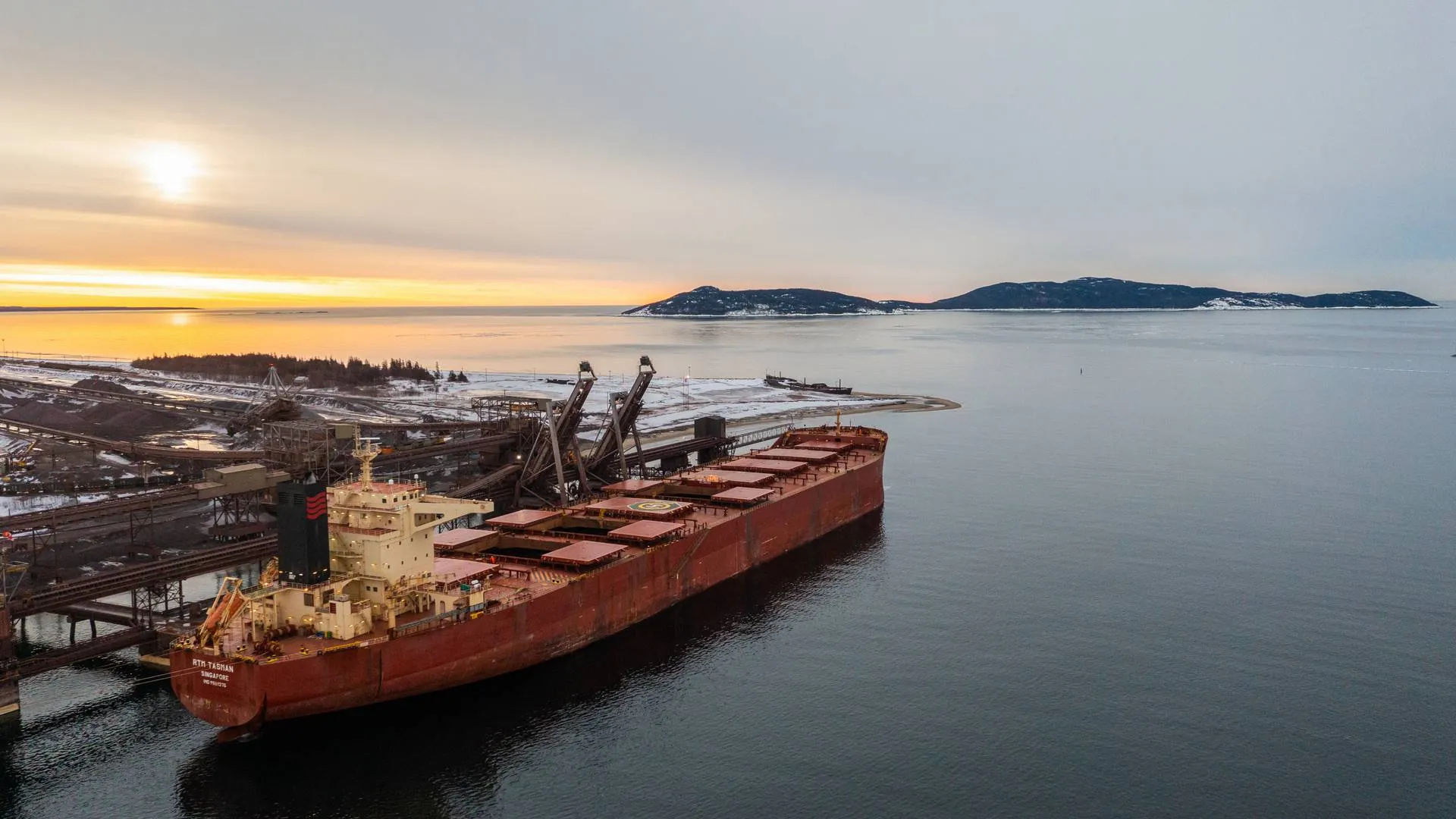
Port Dolphins at Numazu Port
| Dolphin Name | Location (WGS84) | Construction | Function | Technical Specifications | Operational Notes |
|---|---|---|---|---|---|
| Numazu North Dolphin | 35°06’12″N 138°51’36″E | Steel pile with concrete cap (2017) | Mooring assistance for vessels 50-80m LoA | SWL 15t, Fender: Yokohama D900 | Night lighting available (2x500W floodlights) |
| Numazu South Dolphin | 35°05’58″N 138°51’42″E | Precast concrete (2015) | Emergency mooring | SWL 20t, Fender: D1000 | Annual load test conducted (last: 2023-11) |
| Central Mooring Dolphin | 35°06’05″N 138°51’39″E | Steel jacket type (2020) | Barge mooring | SWL 25t, Fender: Cell fender 1000H | Equipped with quick-release mooring hooks |
| Oil Terminal Dolphin | 35°06’15″N 138°51’50″E | Explosion-proof design (2019) | Product tanker mooring | SWL 30t, Hazardous area certified | Requires anti-static grounding before use |
Mooring Buoys at Numazu Port
| Buoy ID | Location (WGS84) | Type | Max Vessel Size | Technical Specifications | Operational Restrictions |
|---|---|---|---|---|---|
| MB-1 | 35°06’18″N 138°51’45″E | Single-point mooring | 5,000 DWT / 120m LoA | Chain diameter 58mm, Scope 3:1 | Max stay 72hrs, typhoon prohibited |
| MB-2 | 35°06’02″N 138°51’33″E | Multi-point mooring | 3,000 DWT / 90m LoA | Light: Fl.R 5s, Racon ‘M’ | Daylight only (0700-1900 JST) |
| MB-3 | 35°05’55″N 138°51’48″E | Typhoon mooring | 7,000 DWT / 150m LoA | SWL 50t, 4-leg mooring | Requires Port Master approval |
| MB-4 | 35°06’22″N 138°51’55″E | Emergency standby | 10,000 DWT / 180m LoA | Radar reflector, AIS enabled | For official/emergency use only |
Piers at Numazu Port
| Pier Name | Location | Dimensions | Construction | Facilities | Operational Parameters |
|---|---|---|---|---|---|
| Numazu Fishery Pier | West Basin | 150m×15m | Reinforced concrete (2018) | Ice plant (20t/day), fuel station | Max 10 vessels simultaneously |
| Numazu Public Pier | Central Harbor | 200m×20m | Steel sheet pile (2016) | 2×10t cranes, warehouse (5,000m²) | No operations 2200-0600 JST |
| Coast Guard Pier | East Basin | 80m×12m | Government standard (2021) | Patrol vessel berthing | Restricted area (500m exclusion) |
| Passenger Pier | South Harbor | 100m×10m | Floating pontoon (2022) | Passenger terminal (200 pax/hr) | Ferries only, max 5,000GT |
Berths at Numazu Port
| Terminal Name | Berth Name | Dimensions | Technical Specifications | Equipment | Cargo Handling | Regulatory Compliance |
|---|---|---|---|---|---|---|
| Numazu General Cargo Terminal | Berth 1 | 120m×7.0m | 10,000 DWT / 110m LoA | 2×10t KoneCranes (2015) | General cargo, project cargo | ISPS Level 1, No IMDG class 1 |
| Numazu General Cargo Terminal | Berth 2 | 150m×8.0m | 15,000 DWT / 140m LoA | 1×20t Mitsui crane (2020) | Steel products, heavy lifts | Daylight ops (0700-1900 JST) |
| Numazu Oil Terminal | Oil Berth | 100m×9.0m | 20,000 DWT / 90m LoA | 2×8″ loading arms | Petroleum products | SOLAS Ch.II-2/10, API RP 2003 |
| Numazu Container Terminal | CT-1 | 180m×9.5m | 25,000 DWT / 170m LoA | 2×40t ZPMC STS cranes | Containers (max 3 high) | CTU Code 2020, DG 24hr notice |
| Bulk Cargo Terminal | BC-1 | 200m×10.5m | 30,000 DWT / 190m LoA | Grab unloader (800t/hr) | Coal, grain, fertilizers | IMSBC Code compliance |
Lighterages at Numazu Port
| Lighterage Area | Location | Technical Parameters | Vessel Requirements | Operational Limits | Safety Provisions |
|---|---|---|---|---|---|
| Inner Harbor Lighterage | 35°06’08″N 138°51’40″E | Depth 4.0m, Current ≤2kt | ≤1,000 DWT, double hull | Daylight, ≤15kt winds | Standby boat required |
| Offshore Lighterage Zone | 35°06’25″N 138°52’00″E | Depth 6.5m, Current ≤3kt | ≤5,000 DWT, certified fenders | All weather (typhoon excluded) | Min 2 tugs (2000HP each) |
| Emergency Lighterage Area | 35°06’30″N 138°51’20″E | Depth 5.5m, Sheltered | Approved operators only | Port Master discretion | Oil spill equipment on standby |
Wharves at Numazu Port
| Wharf Name | Location | Dimensions | Construction | Design Load | Operational Restrictions |
|---|---|---|---|---|---|
| Numazu Fishery Wharf | West Harbor | 300m×5.0m | Concrete (2015) | 2t/m² | Local fishery association only |
| Numazu Coastal Trade Wharf | East Harbor | 250m×6.0m | Steel/concrete (2017) | 3t/m² | Max 3,000 DWT, no oil tankers |
| Ship Repair Wharf | South Basin | 120m×5.5m | Heavy-duty (2020) | 5t/m² | Hot work permit required |
| Ro-Ro Wharf | North Harbor | 150m×7.0m | Reinforced (2019) | 4t/m² | Max ramp slope 10% |
Important Notices:
- All depth measurements are relative to Chart Datum (CD) which is 0.3m below Tokyo Peil (T.P.)
- Mooring equipment certifications must be verified annually per Japanese Port Regulations Article 34
- Winter operations (Dec-Feb) require additional ice prevention measures for freshwater lines
- Port security level may be elevated during national holidays – check NOTSHIPs daily



